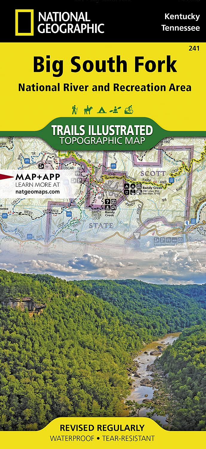
Big South Fork National River and Recreation Area Map (National Geographic Trails Illus...
MIA KARTS BOOKS

- Vendor: Mia Karts
Big South Fork National River and Recreation Area Map (National Geographic Trails Illustrated Map, 241)
Book Details
- Author
- National Geographic Maps - Trails Illustrated
- Publisher
- National Geographic
- Format
- Map
- Language
- English
- Category
- Travel Maps
- Condition
- New
- ISBN-13
- 9781566953542
- ISBN-10
- 1566953545
Free U.S. shipping on all orders. International shipping is calculated at checkout.
ISBN: 1566953545
Author: National Geographic Maps - Trails Illustrated
Condition: New
Waterproof Tear-Resistant Topographic MapNational Geographic's Trails Illustrated map of Big South Fork National River and Recreation Area is a perfect guide for all recreation activities in this stunning area, whether hiking, biking, exploring, rafting, climbing, camping, or horseback riding. This expertly researched map was created in partnership with the U.S. Forest Service, National Park Service and TN Dept. of Agriculture. In addition to covering the entire area of Big South Fork, it also covers parts of the neighboring Daniel Boone National Forest and Pickett State Park. Inset maps of Yahoo Falls, Blue Heron, Bandy Creek, Leatherwood Ford, and Honey Creek Loop Trail areas give additional details to these popular park locations. The Big South Fork Cumberland River is detailed with mileage markers, complemented by a table of popular river runs their distances, difficulty levels and other river information.Get off the beaten path and back on again by following the map to clearly marked trailheads and then along mapped trails, detailed with mileage indicators and colored according to designated usage. The John Muir and Sheltowee Trace Trails are both highlighted as well. The map also includes contour lines and elevations, cumulative road distances for key areas, and elevations and trail intersections. Other recreation features on the map include river access points, fishing areas, backcountry lodges, picnic shelters and lookout towers. Essential hunting, water, safety and backcountry tips are included as well as useful contact information.Every Trails Illustrated map is printed on "Backcountry Tough" waterproof, tear-resistant paper. A full UTM grid is printed on the map to aid with GPS navigation.Other features found on this map include: Big South Fork, Daniel Boone National Forest, New River. Map Scale = 1:45,000 Sheet Size = 37.75" x 25.5" Folded Size = 4.25" x 9.25"
- National Geographic Map - Big South Fork National Recreation Area Trail
Have a question?
Big South Fork National River and Recreation Area Map (National Geographic Trails Illustrated Map, 241)
You May Also Like
More in Books Under $20