



- Vendor: Mia Karts
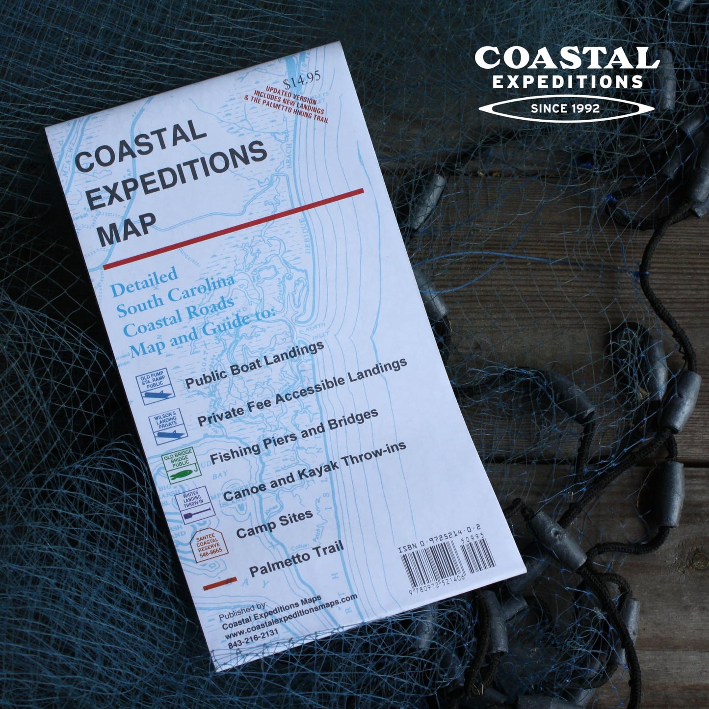
Coastal Expeditions Map of Coastal South Carolina
Free U.S. shipping on all orders. Free international shipping on orders over $99
All orders are dispatched the next business day!
Competitive Pricing You Can Trust — Quality You Can Rely On.
ISBN: 0972521402
Author: Coastal Expeditions
Condition: New
Created by the founder of the South Carolina regional outdoor outfitter COASTAL EXPEDITIONS, this map is an essential piece of gear for anyone that is exploring the South Carolina coast and the waterways that feed into it. While this map doesn't replace a chart for expeditions, the guides at Coastal Expeditions bring this map on every trip that they lead. They are tucked in the visors of the vehicles, packed into the gear and stowed in the kayaks. This comprehensive map is unique in that it overlays roads with the intricate network of rivers, streams, creeks and estuaries that weave together to form the South Carolina coastline (and up to 80 miles inland). You can use this map to find a put-in or marine along a waterway and then plan your route, from doorstep to put-in, from put-in to exit and back home again.
- Entire South Carolina coastline and up to 80 miles inland | Guide to: public/private boat landings, fishing piers & bridges, camp sites, and kayak/canoe put-ins | Most comprehensive resource for the coastal waterways of South Carolina | 2-sided map; expands to 30"x43" (folded 4.5"x10") | Detailed South Carolina Coastal Roads Map
Have a question?


Coastal Expeditions Map of Coastal South Carolina
