
- Vendor: Mia Karts
Easy To Read: Virginia
Free U.S. shipping on all orders. Free international shipping on orders over $99
All orders are dispatched the next business day!
Competitive Pricing You Can Trust — Quality You Can Rely On.
ISBN: 0528882090
Author: Rand McNally
Condition: New
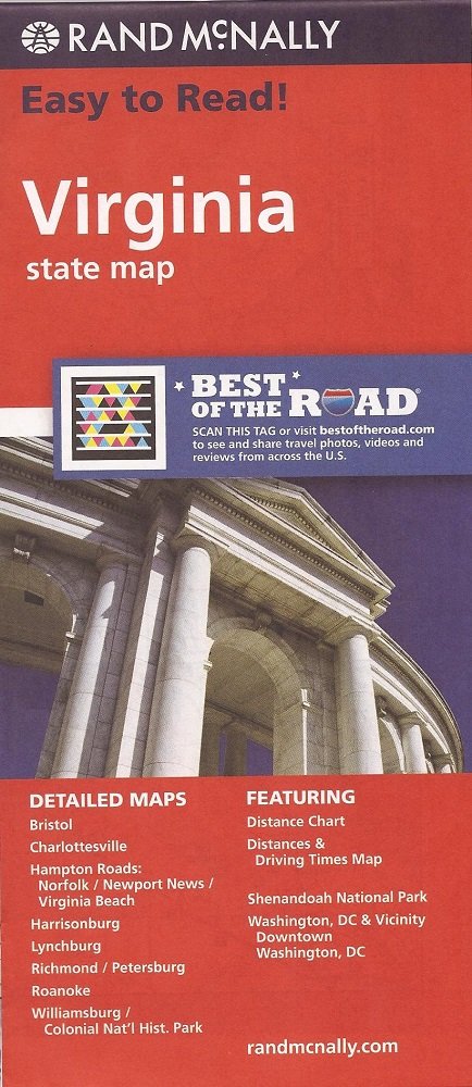
Rand McNally's folded map for Virginia is a must-have for anyone traveling in or through the state, offering unbeatable accuracy and reliability at a great price. Our trusted cartography shows all Interstate, U.S., state, and county highways and much more.Points of interestState park chartState mileage chartDriving times mapOn-the-road toolboxVisitor center informationClimate dataState facts & symbolsEasy-to-use legendDetailed indexedCoverage AreaDetailed maps include: Alexandria/Arlington, Bristol, Charlottesville, Hampton Roads: Norfolk/Newport News/Virginia Beach, Lynchburg, Richmond/Petersburg, Roanoke, Shenandoah National Park, Washington, D.C. & Vicinity, Williamsburg/Colonial National HistoProduct DetailsMeasures 9.0" x 4.125" and folds out to 25.5" x 36.75"
Have a question?
Easy To Read: Virginia