Glen Canyon National Recreation Area (National Geographic Trails Illustrated Map)
MIA KARTS BOOKS

- Vendor: Mia Karts
Glen Canyon National Recreation Area (National Geographic Trails Illustrated Map)
Book Details
- Author
- National Geographic Maps - Trails Illustrated
- Publisher
- National Geographic
- Format
- Map
- Language
- English
- Category
- Travel Maps
- Condition
- New
- ISBN-13
- 9781566953436
- ISBN-10
- 156695343X
Free U.S. shipping on all orders. International shipping is calculated at checkout.
ISBN: 156695343X
Author: National Geographic Maps - Trails Illustrated
Condition: New
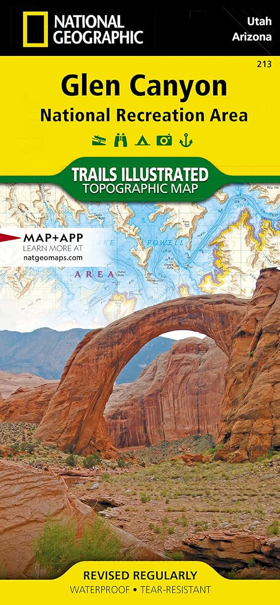
Waterproof Tear-Resistant Topographic MapLet National Geographic's Trails Illustrated map of Glen Canyon National Recreation Area guide you over the hundreds of miles and 1.2 million acres of this historic, scenic and recreation rich area. Expertly researched and created in cooperation with the National Park Service and others, the map provides unparalleled detail of many popular points of interest, including Lake Powell, Colorado River, Antelope Island, Rainbow Bridge National Monument, Navajo Indian Reservation, Vermilion Cliffs National Monument and Trail of the Ancients Scenic Byway.Since the recreation area has no maintained trails, you can navigate the area with the help of the map's detailed topography, including shaded relief, contour lines, elevations, labeled peaks and water features. For those who prefer to explore the area by water, Lake Powell is shown with bathymetric shading and contour lines along with correctly positioned and numbered buoys. Additionally, descriptions of Lake Powell marinas is provided along with their contact information. Other recreation features include boat and kayak launch points, campgrounds and scenic views.Every Trails Illustrated map is printed on "Backcountry Tough" waterproof, tear-resistant paper. A full UTM grid is printed on the map to aid with GPS navigation.Other features found on this map include: Bullfrog Creek, Cataract Canyon, Dirty Devil River, Escalante River, Glen Canyon, Glen Canyon Dam, Glen Canyon National Recreation Area, Kaibito Creek, Lake Powell, Mount Hillers, Navajo Creek, Paria River, Rainbow Plateau, Red Canyon, San Juan River, Smoky Mountain, Wahweap Creek, Wilson Mesa. Map Scale = 1:90,000 Sheet Size = 37.75" x 25.5" Folded Size = 4.25" x 9.25"
- Author: National Geographic Maps
Have a question?
Glen Canyon National Recreation Area (National Geographic Trails Illustrated Map)
You May Also Like
More in Books Under $20