Hoosier National Forest Map (National Geographic Trails Illustrated Map, 770)
MIA KARTS BOOKS

- Vendor: Mia Karts
Hoosier National Forest Map (National Geographic Trails Illustrated Map, 770)
Book Details
- Author
- National Geographic Maps
- Publisher
- National Geographic
- Format
- Map
- Language
- English
- Category
- Travel Maps
- Condition
- New
- ISBN-13
- 9781566954211
- ISBN-10
- 1566954215
Free U.S. shipping on all orders. International shipping is calculated at checkout.
ISBN: 1566954215
Author: National Geographic Maps
Condition: New
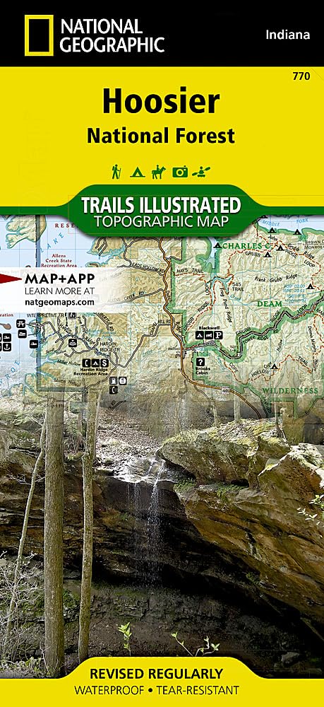
Waterproof Tear-Resistant Topographic MapEnjoy the abundance of recreational opportunities in the hills of south central Indiana with National Geographic's Trails Illustrated map of Hoosier National Forest. Expertly researched and created in partnership with the U.S. Forest Service, Indiana Dept. of Natural Resources and others, the map delivers unparalleled detail of the forest as well as inset maps of the popular Two Lakes, German Ridge and Monroe Lake areas. Other points of interest covered are Charles Deam Wilderness, Harrison Crawford, Martin and Ferdinand State Forests, Patoka Lake State Reservoir and the Ohio River.Explore the area's unique ecosystem with miles of mapped trails, color-coded according to their designated usage, whether hiking, biking or horseback riding. Trail charts list trails with their location, mileage and designated use. The American Discovery Trail that weaves through the area is marked, as is the Ohio River Scenic Byway. Extensive recreational features are noted, including areas for camping, picnicking, parking, fishing and swimming, as well as interpretive trails, boat ramps and scenic viewpoints. Also noted are such service facilities as grocery and supply stores, gas stations, restrooms and dining establishments.Every Trails Illustrated map is printed on "Backcountry Tough" waterproof, tear-resistant paper. A full UTM grid is printed on the map to aid with GPS navigation.Other features found on this map include: Anderson River, Bloomington, Blue River, Charles C. Deam Wilderness, Hoosier National Forest, Monroe Lake. Map Scale = 1:70,000 Sheet Size = 25.5" x 37.75" Folded Size = 4.25" x 9.25"
- Trails Illustrated Map: Hoosier National Forest | Trails Illustrated Map: Hoosier National Forest | National Geographic Maps
Have a question?
Hoosier National Forest Map (National Geographic Trails Illustrated Map, 770)
You May Also Like
More in Books Under $20