Italy North, street map 1:500,000 (English, French, German and Italian Edition)
MIA KARTS BOOKS

- Vendor: Mia Karts
Italy North, street map 1:500,000 (English, French, German and Italian Edition)
Free U.S. shipping on all orders. Free international shipping on orders over $99
All orders are dispatched the next business day!
Competitive Pricing You Can Trust — Quality You Can Rely On.
ISBN: 3707921093
Author: Freytag & Berndt
Condition: New
Northern Italy at 1:500,000 from Freytag & Berndt with coverage extending just past Sienna and Arezzo. Index booklet provides street plans of Ancona, Bolzano, Genoa, plus central Florence, Milan, Rome, Turin and Venice. Bold relief shading with plenty of names of geographical features provides a good presentation of the countrys topography, both in the northern part where the coverage extends to include most of southern Switzerland and the Austrian Alps south of Innsbruck, and along the spine of the Apennines. Road network includes many small local roads, most with driving distances. Gradients are marked on steep roads. The railway network and ferry connections are included. Symbols highlight some places of interest, including national parks, but the map is basically designed to show the road network rather than the countrys great artistic and historical heritage. The map has latitude and longitude lines at intervals of 30. Multilingual map legend includes English. A separate booklet attached to the map cover contains an index, listing all localities with their postcodes, and provides street plans of Ancona, Bolzano, Genoa, plus central Florence, Milan, Rome, Turin and Venice. Also provided is a small inset at 1:3,500,000 extending coverage beyond Rome. * The map is an enlargement of F&Bs coverage of the whole of Italy at 1:600,000 on a large, double-sided map with an index booklet containing more street plans.
Have a question?
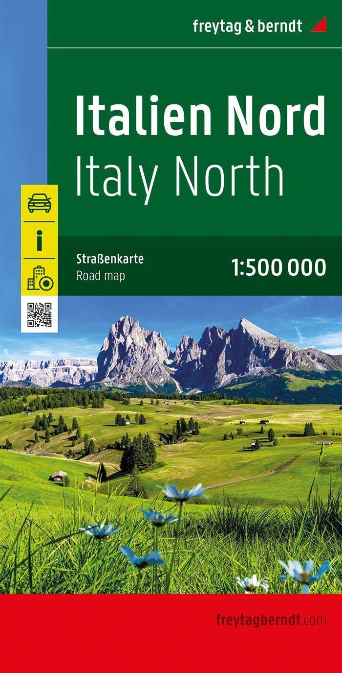
Italy North, street map 1:500,000 (English, French, German and Italian Edition)
You May Also Like
More in Books Under $20