

- Vendor: Mia Karts
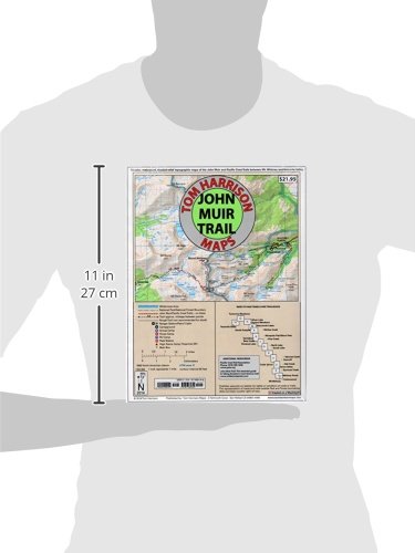
John Muir Trail Map-Pack: Shaded Relief Topo Maps (Tom Harrison Maps)
Free U.S. shipping on all orders. Free international shipping on orders over $99
All orders are dispatched the next business day!
Competitive Pricing You Can Trust — Quality You Can Rely On.
ISBN: 1877689343
Author: Tom Harrison
Condition: New
Shaded Relief Topo Maps packet of the famous Sierra High Route that will take hikers from Mount Whitney to Yosemite, CA. Well marked trails over USGS topo maps that were beautifully enhanced with shaded relief to better distinguish details. Scale 1:630360. 1 inch on map equals 1 mile. Whitney Portal, Symmes Creek, Onion Valley, Oak Creek, Taboose Creek, North and South Lakes, Vermilion, Bear Creek, Florence Lake, Pine Creek, Mono Pass, McGee Creek, Devils Postpile, Mammoth Lakes, Agnew Meadows, Silver Lake, Tuolomne Meadows, and finally the Yosemite Valley. GPS Compatible! - Complete UTM Grid.
Have a question?

John Muir Trail Map-Pack: Shaded Relief Topo Maps (Tom Harrison Maps)