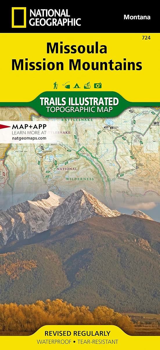
Missoula, Mission Mountains Map (National Geographic Trails Illustrated Map, 724)
MIA KARTS BOOKS

- Vendor: Mia Karts
Missoula, Mission Mountains Map (National Geographic Trails Illustrated Map, 724)
Book Details
- Author
- National Geographic Maps
- Publisher
- National Geographic
- Format
- Map
- Language
- English
- Category
- Atlases & Gazetteers
- Condition
- New
- ISBN-13
- 9781566956833
- ISBN-10
- 1566956838
Free U.S. shipping on all orders. International shipping is calculated at checkout.
ISBN: 1566956838
Author: National Geographic Maps
Condition: New
Waterproof Tear-Resistant Topographic MapOutdoor enthusiasts looking to enjoy the abundant recreational lands in the mountains of western Montana will find National Geographic's Trails Illustrated map of Missoula and the Mission Mountains an essential travel companion. Expertly researched and created in cooperation with the U.S. Forest Service, the city of Missoula and others, the map delivers unparalleled detail of the region. Coverage includes Mission Mountain Wilderness and Tribal Wilderness Areas, Flathead and Lolo National Forests, Bob Marshall Wilderness, Rattlesnake Wilderness and National Recreation Area, Swan Range, Steely, Lindbergh and Holland Lakes, Marshall Creek WMA and Placid Lake State Park. Inset maps of Blue Mountain and Pattee Canyon provide extra detail of the trail networks in those recreation areas.A wide variety of mapped trails, shown with mileage markers, can guide you on your adventure, whether you travel on foot, horseback, mountain or road bike, motorcycle, ATV or snowmobile. Your navigation will be aided by the maps contour lines, elevations, labeled peaks and summits, water features and clear color-coded boundaries between different land management agencies, as well as a complete road network of the area, including numbered Forest Service roads. Some of the other recreation areas pinpointed are for camping, picnicking, parking, skiing, swimming, fishing, showering and wildlife viewing.Every Trails Illustrated map is printed on "Backcountry Tough" waterproof, tear-resistant paper. A full UTM grid is printed on the map to aid with GPS navigation.Other features found on this map include: Bitterroot River, Blackfoot River, Bob Marshall Wilderness, Flathead National Forest, Holland Peak, Lolo National Forest, McDonald Peak, Mission Mountains Wilderness, Missoula, Placid Lake, Rattlesnake Wilderness, Seeley Lake. Map Scale = 1:70,000 & 1:24,000 Sheet Size = 25.5" x 37.75" Folded Size = 4.25" x 9.25"
- Missoula / Mission Mtns #724
Have a question?
Missoula, Mission Mountains Map (National Geographic Trails Illustrated Map, 724)
You May Also Like
More in Books Under $20