National Geographic France, Belgium, and The Netherlands Wall Map - Classic - Laminated...
MIA KARTS BOOKS

- Vendor: Mia Karts
National Geographic France, Belgium, and The Netherlands Wall Map - Classic - Laminated (23.5 x 30.25 in) (National Geographic Reference Map)
Free U.S. shipping on all orders. Free international shipping on orders over $99
All orders are dispatched the next business day!
Competitive Pricing You Can Trust — Quality You Can Rely On.
ISBN: 0792292618
Author: National Geographic Maps
Condition: New
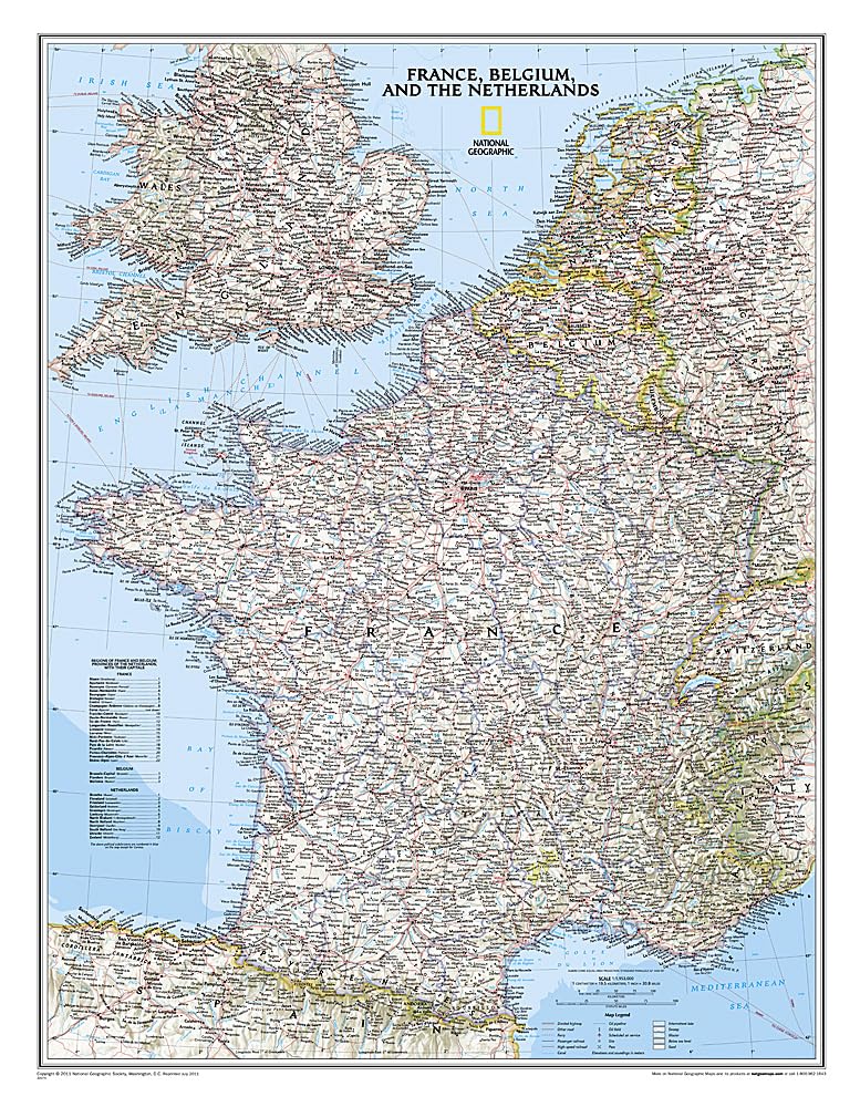
Expertly researched and designed, National Geographic's Classic style political map of France, Belgium, and The Netherlands features clearly defined international boundaries, thousands of place names, waterbodies, airports, major highways and roads, national parks, and much more. Also shown are the region's updated infrastructures, including major oil fields and pipelines; high-speed passenger railway lines; canals; and ferry routes. The tasteful color palette, shaded relief, and bathymetric data make this map as attractive as it is functional. Luxembourg and portions of the United Kingdom, Germany, Switzerland, Spain, and Italy are shown as well.The map is encapsulated in heavy-duty 1.6 mil laminate which makes the paper much more durable and resistant to the swelling and shrinking caused by changes in humidity. Laminated maps can be framed without the need for glass, so the frames can be much lighter and less expensive. Map Scale = 1:1,955,000 Sheet Size = 23.5" x 30.25"
Have a question?
National Geographic France, Belgium, and The Netherlands Wall Map - Classic - Laminated (23.5 x 30.25 in) (National Geographic Reference Map)
You May Also Like
More in Classics