National Geographic Maine Wall Map (30.25 x 40.5 in) (National Geographic Reference Map)
MIA KARTS BOOKS

National Geographic Maine Wall Map (30.25 x 40.5 in) (National Geographic Reference Map)
Book Details
- Author
- National Geographic Maps
- Publisher
- National Geographic
- Format
- Map
- Language
- English
- Category
- United States
- Condition
- New
- ISBN-13
- 9781597753487
- ISBN-10
- 1597753483
Free U.S. shipping on all orders. International shipping is calculated at checkout.
ISBN: 1597753483
Author: National Geographic Maps
Condition: New
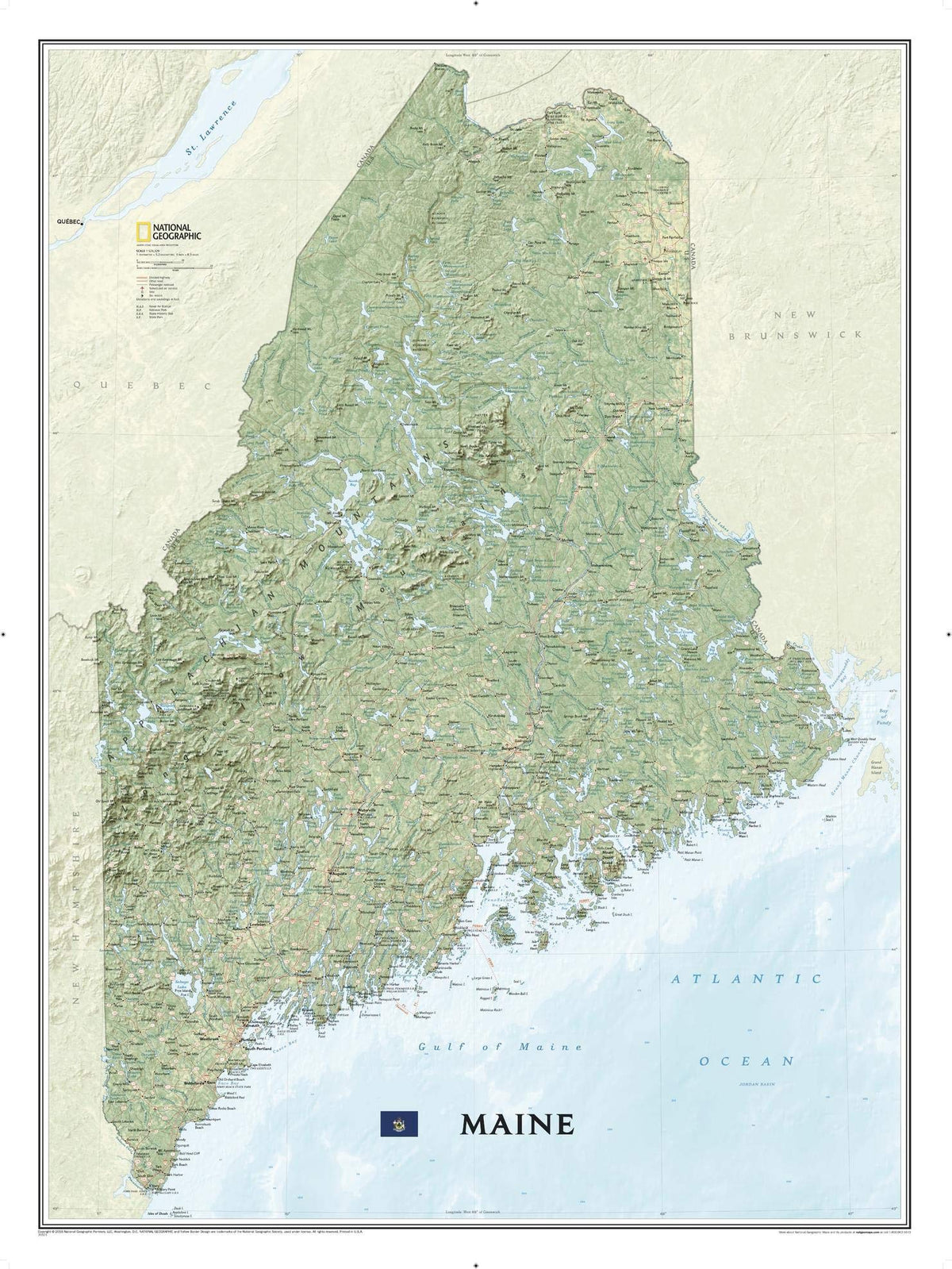
Expertly rendered on National Geographic's wall map of Maine is the picturesque forested topography of the Pine Tree State. The entire state is visualized with vibrant colors and stunning shaded relief, depicting mountains, forests and waterways, from its border with New Hampshire in the west, along the Canadian border to the north and its back down its rugged eastern Atlantic Ocean coastline. The precise location of hundreds of places are pinpointed on the map, including cities and towns, national and state parks, lakes and bays, historic sites, ski resorts, mountain peaks and other points of interest. In addition, major infrastructure networks, including roads, highways, airports and ferry routes are clearly labeled.The map is packaged in a two inch diameter tube with a label showing a thumbnail of the map with dimensions and other pertinent information. Map Scale = 1:524,329 Sheet Size = 30.25" x 40.5"
- National Geographic Maine State Wall Map, part of our growing series of State Wall Maps. Ideal for home or business, Maine is printed on a premium print quality stock ideal for framing or is also available in a durable laminated edition. Maines's div
Have a question?
National Geographic Maine Wall Map (30.25 x 40.5 in) (National Geographic Reference Map)
You May Also Like
More in American History