

- Vendor: Mia Karts
National Geographic United States Wall Map - Executive (Enlarged: 69.25 x 48 in) (National Geographic Reference Map)
Free U.S. shipping on all orders. Free international shipping on orders over $99
All orders are dispatched the next business day!
Competitive Pricing You Can Trust — Quality You Can Rely On.
ISBN: 0792293215
Author: National Geographic Maps
Condition: New
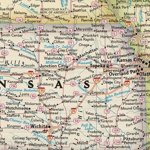
Expertly researched and designed, National Geographic's United States wall map is the standard by which other reference maps of the U.S. are measured.Product Features: Antique-style "executive" color palette All 50 states with insets for Hawaiian Islands and Alaska plus inset showing relative size of Alaska Clearly defined state and country boundaries, cities, islands, national parks, and physical features Thousands of place names carefully and artfully placed to maintain legibility in heavily populated areas Background shows mountain ranges and valleys in subtle shaded relief with mountain ranges labeled Major water bodies including rivers, lakes, gulfs, bays, straits, and ocean bathymetry Transportation routes including interstate highways, major state routes, airports, waterways, canals, and ferriesEnlarged maps provide an immersive experience in any home or office environment. The exceptional cartography is even easier to appreciate at the larger size. The map is packaged in a two inch diameter tube with a label showing a thumbnail of the map with dimensions and other pertinent information. Map Scale = 1:2,814,000 Sheet Size = 69.25" x 48"
- Top National Geographic Quality | Enlarged 48x70 Paper Edition | Current and up-to-date | Ships rolled in a sturdy shipping tube!
Have a question?

National Geographic United States Wall Map - Executive (Enlarged: 69.25 x 48 in) (National Geographic Reference Map)
You May Also Like
More in American History