- Vendor: Mia Karts
Ogden, Monte Cristo Range Map (National Geographic Trails Illustrated Map, 700)
Free U.S. shipping on all orders. Free international shipping on orders over $99
All orders are dispatched the next business day!
Competitive Pricing You Can Trust — Quality You Can Rely On.
ISBN: 156695634X
Author: National Geographic Maps
Condition: New
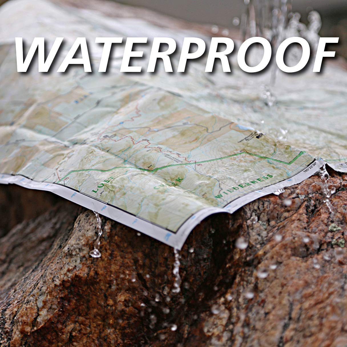
? Waterproof ? Tear-Resistant ? Topographic MapOutdoor enthusiasts looking to enjoy the limitless recreational opportunities in northern Utah just east of Great Salt Lake will marvel at National Geographic's Trails Illustrated map of Ogden and the Monte Cristo Range. Designed with a wide range of visitors in mind, this expertly researched map was created in cooperation with the U.S. Forest Service and others. The map covers many popular recreation points of interest, including Cache and Wasatch National Forests; Antelope Island, Willard Bay and East Canyon State Parks; East Canyon, Ogden Bay, Brigham Face and Middle Fork State Wildlife Areas; Wasatch and Bear River Ranges; Pineview Reservoir; and Ogden River. An accurate road network between Brigham City and North Salt Lake is also shown.Select an area to explore with the aid of activity guides that list the location, elevation, available facilities and other information of various campgrounds, marinas and picnic grounds. Clearly mapped trails are shown with mileage markers, including part of the Great Western Trail, and are labeled according to designated usage, whether exploring on foot, horseback, mountain bike, motorcycle or ATV. Winter trails are also shown and labeled for ski or snowmobile use. To aid in your navigation, the map includes contour lines, elevations, labeled peaks and summits, and water features. Some of the other recreation features pinpointed are trailheads, paved biked roads, river access points, canoeing, kayaking and swimming areas, shooting ranges, ski areas, yurts and horse corrals.Every Trails Illustrated map is printed on "Backcountry Tough" waterproof, tear-resistant paper. A full UTM grid is printed on the map to aid with GPS navigation.Other features found on this map include: Antelope Island, Bountiful, Brigham City, Cache National Forest, Centerville, Clearfield, Clinton, Farmington, Kaysville, Layton, Little Bear River, Monte Cristo Range, North Ogden, North Salt Lake, Ogden, Pineview Reservoir, Roy, South Ogden, Syracuse, Wasatch National Forest, Weber River. Map Scale = 1:75,000 Sheet Size = 37.75" x 25.5" Folded Size = 4.25" x 9.25"
Have a question?


Ogden, Monte Cristo Range Map (National Geographic Trails Illustrated Map, 700)
You May Also Like
More in Books Under $20