


- Vendor: Mia Karts
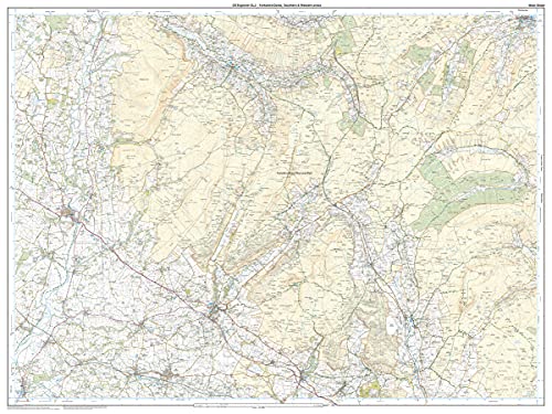
OL02 Yorkshire Dales South & Western
Free U.S. shipping on all orders. Free international shipping on orders over $99
All orders are dispatched the next business day!
Competitive Pricing You Can Trust — Quality You Can Rely On.
ISBN: 0319263312
Author: Ordnance Survey
Condition: New
The essential map for outdoor activities in Yorkshire Dales - Southern & Western areas. The OS Explorer Map is the Ordnance Survey's most detailed folding map and is recommended for anyone enjoying outdoor activities including walking, horse riding and off-road cycling. This map now comes with a digital version which you can download to your smartphone or tablet.FeaturesPennine WayDales WayDales Way (Guide Book)Ribble WayLimestone Link (Cumbria)Lune Valley RambleMillennium WayPennine Way (National Trail)E2 (European Long Distance Route)SettleSkiptonNorth YorkshireLancashireYorkshire Dales National ParkCumbria1:25 000 scale (4 cm to 1 km - 2.5 inches to 1 mile)This map comes with a digital version which you can download to your smartphone or tablet.
- Ordnance Survey
Have a question?


OL02 Yorkshire Dales South & Western
