

- Vendor: Mia Karts
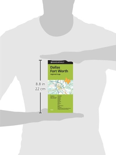
Rand McNally Folded Map: Dallas Fort Worth Regional Map
Free U.S. shipping on all orders. Free international shipping on orders over $99
All orders are dispatched the next business day!
Competitive Pricing You Can Trust — Quality You Can Rely On.
ISBN: 052800915X
Author: Rand McNally
Condition: New
Rand McNally's folded map for Dallas Fort Worth is a must-have for anyone traveling in and around this part of Texas, offering unbeatable accuracy and reliability at a great price. Our trusted cartography shows all Interstate, U.S., state, and county highways, along with clearly indicated parks, points of interest, airports, county boundaries, and streets. The easy-to-use legend and detailed index make for quick and easy location of destinations. You'll see why Rand McNally folded maps have been the trusted standard for years. Regularly updated Full-color maps Clearly labeled Interstate, U.S., state, and county highways Indications of parks, points of interest, airports, county boundaries, downtown & vicinity maps Major attractions & Golf Courses Enlargements of Dallas, Forth Worth, Dallas/Fort Worth International Airport, Arlington Entertainment District. Easy-to-use legend Detailed index & Major Street Index Convenient folded size Coverage Area Communities Included: Arlington, Cleburne, Corsicana, Denton, Garland, Greenville, Irving, McKinney, Plano. Product Details Measures 9.5' x 4' and folds out to 40' x 28'.
Have a question?

Rand McNally Folded Map: Dallas Fort Worth Regional Map