Rocky Mountain National Park (National Geographic Trails Illustrated Map)
MIA KARTS BOOKS

- Vendor: Mia Karts
Rocky Mountain National Park (National Geographic Trails Illustrated Map)
Book Details
- Author
- Trails Illustrated Maps
- Publisher
- National Geographic
- Format
- Map
- Language
- English
- Category
- Travel Maps
- Condition
- New
- ISBN-13
- 9781566953429
- ISBN-10
- 1566953421
Free U.S. shipping on all orders. International shipping is calculated at checkout.
ISBN: 1566953421
Author: Trails Illustrated Maps
Condition: New
? Waterproof ? Tear-Resistant ? Topographic MapNational Geographic's Trails Illustrated map of Rocky Mountain National Park delivers unmatched detail and valuable information to assist you in your exploration of this breathtaking wilderness. Whatever the season, you'll find this map a useful tool in pursuing a host of recreational activities from camping and fishing to skiing and snowmobiling. Created in partnership with local land management agencies, this expertly researched map features key areas of interest including Trail Ridge Road, Longs Peak, Arapaho National Forest, Routt National Forest, Roosevelt National Forest, Never Summer Wilderness, Comanche Peak Wilderness, and the Continental Divide Trail.The Rocky Mountain National Park map can guide you off the beaten path and back again with over 400 miles of mapped trails including hiking, horse, snowmobile, cross-country ski, ATV, and mountain bike trails. The map base includes contour lines and elevations for summits, passes and major lakes. Many recreation features are noted as well, including campgrounds, trailheads, interpretive trails, boat launches, fishing access, and horse rental locations.Every Trails Illustrated map is printed on "Backcountry Tough" waterproof, tear-resistant paper. A full UTM grid is printed on the map to aid with GPS navigation.Other features found on this map include: Arapaho National Forest, Comanche Peak Wilderness, Grand Lake, Indian Peaks Wilderness, Lake Granby, Longs Peak, Neota Wilderness, Never Summer Wilderness, Rocky Mountain National Park, Roosevelt National Forest, Routt National Forest, Stones Peak. Map Scale = 1:50,000 Sheet Size = 37.75" x 25.5" Folded Size = 4.25" x 9.25"
- Folded Dimensions: 4.25 x 9.25 in | Waterproof: yes | Recommended Use: exploring Colorado
Have a question?
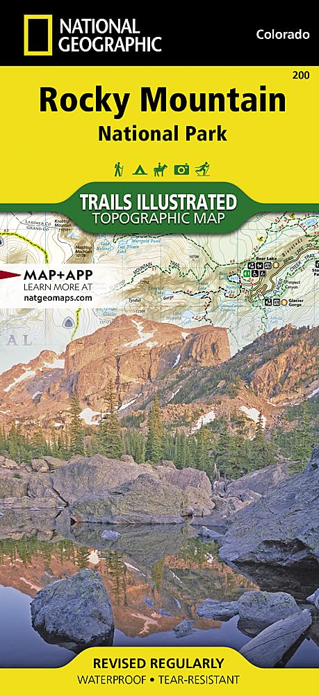
Rocky Mountain National Park (National Geographic Trails Illustrated Map)
You May Also Like
More in Books Under $20