
Sediment Transport Modeling (STM) and Flood Risk Mapping in GIS: Worked Example

Sediment Transport Modeling (STM) and Flood Risk Mapping in GIS: Worked Example

MIA KARTS BOOKS

Sediment Transport Modeling (STM) and Flood Risk Mapping ...
Skip to product information

    Sediment Transport Modeling (STM) and Flood Risk Mapping in GIS: Worked Example

    $118.89 USD
     per 
    Available

    Book Details

    Format
    Paperback
    Language
    English
    Category
    Environmental
    Condition
    New
    ISBN-13
    9783838347332
    ISBN-10
    3838347331

    Free U.S. shipping on all orders. International shipping is calculated at checkout.

    Guaranteed safe checkout

    Product description

    ISBN: 3838347331

    Author: Sinnakaudan, Shanker Kumar

    Condition: New

    Most computer models used in the flood risk analysis of rivers have inadequate functions in its spatial analytical capabilities and without sediment transport simulation capacity or suitable equations to represents correctly in-situ hydraulic processes. As a result, this book presents the well defined methods on sediment transport modeling using GIS. Step by step guide given for developing a new total bed material load equation and embedding the equation in the SEDFlood model. The tight coupling procedures which gives a user friendly, menu-driven GUI for ArcView GIS and SEDFlood integration and enables two and three-dimensional (2D & 3D) digital floodplain delineation was developed and demonstrated based on worked examples. The importance of hydraulic field measurements and the techniques for hydraulic results validation were shown. It is evident that GIS can be uitlised successfully for floodplain analysis and its integration with hydraulic model is not only feasible but also mutually beneficial for both GIS users and hydraulic modelers. This book is best utilised by hydrological and hydraulic modelers and GIS specialist who worked on floodrisk analysis

    View full details

    Sediment Transport Modeling (STM) and Flood Risk Mapping in GIS: Worked Example

    $118.89 USD
     per 

    You May Also Like

    More in Science & Math
    View all
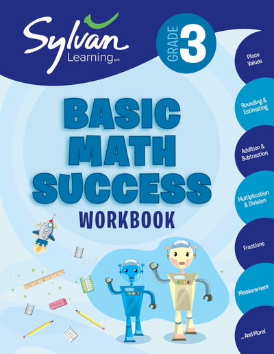
    3rd Grade Basic Math Success Workbook: Place Values, Rounding and Estimating, Addition and Subtraction, Multiplication and Division, Fractions, Measurement, and More (Sylvan Math Workbooks)
    The Chess Mysteries of Sherlock Holmes: Fifty Tantalizing Problems of Chess Detection (Dover Math Games & Puzzles)
    School Zone Big First Grade Workbook: 320 Pages, 1st Grade, Reading Comprehension, Phonics, Spelling, Vocabulary, Basic Math, Time, Money, Fractions, Ages 6 to 7
    The IXL Ultimate 2nd Grade Math Workbook, Activity Book for Kids Ages 7-8 Covering Addition, Subtraction, Place Value, Geometry, Measuring, and More Mathematics (IXL Ultimate Workbooks)
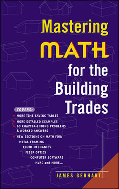
    Mastering Math for the Building Trades
    The Craft and Science of Coffee by Folmer, Britta
    Akira 35th Anniversary Box Set by Otomo, Katsuhiro
    Octavia's Brood: Science Fiction Stories from Social Justice Movements
    Urbanization threats to sustainable wetlands protection: A case study of Butare Town, Rwanda
    Mental Math: Revamp the Learning: An Indicator of the Computational Skills Differences among Pupils and Probable Solutions
    Self-Regulated Learning: An Information Science Perspective
    Optical Parametric Generation and Amplification (Laser Science and Technology)
    RECENTLY VIEWED PRODUCTS

    Why Shop Miakarts Books?

    Wide Selection

    Discover books across many categories and subjects.

    Secure Checkout

    Shop with a secure online checkout experience.

    Detailed Book Information

    View ISBN, author, publisher, format and other available book details.

    Easy Online Ordering

    Browse, select and order books online.

    Customer Support

    Contact us if you need help with an order or product.