Staunton/Shenandoah Mountain, George Washington National Forest Hiking Map
MIA KARTS BOOKS

- Vendor: Mia Karts
Staunton/Shenandoah Mountain, George Washington National Forest Hiking Map
Free U.S. shipping on all orders. Free international shipping on orders over $99
All orders are dispatched the next business day!
Competitive Pricing You Can Trust — Quality You Can Rely On.
ISBN: 156695374X
Author: Trails Illustrated Maps
Condition: New
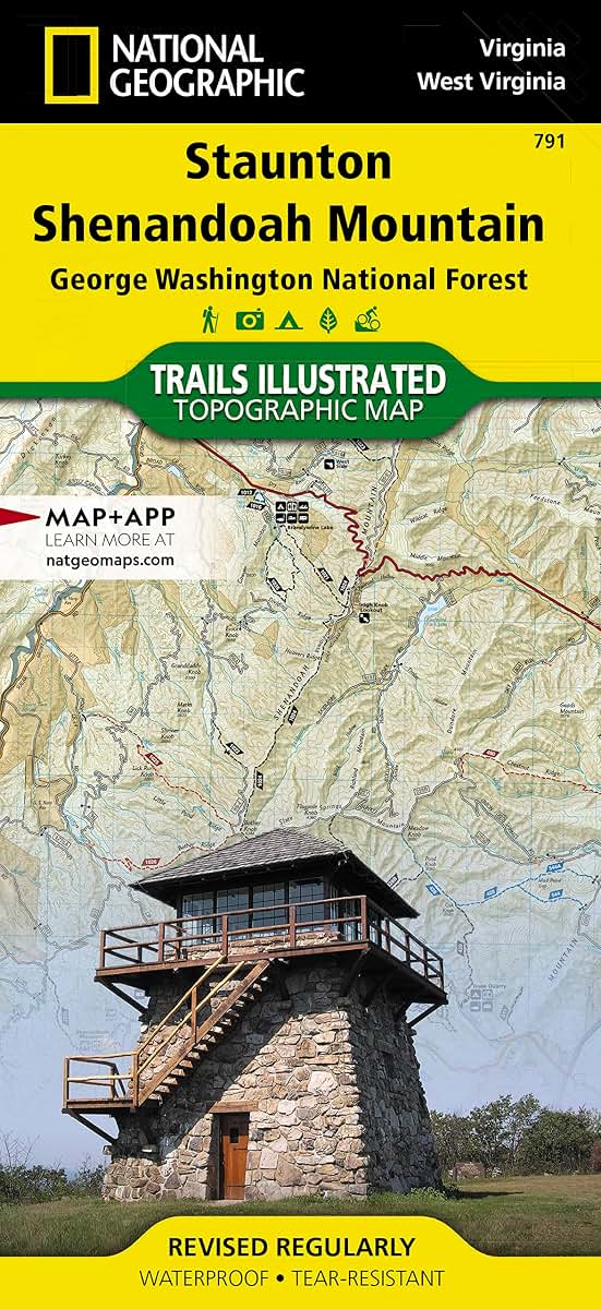
Waterproof Tear-Resistant Topographic MapLet National Geographic's Trails Illustrated map of Staunton and Shenandoah Mountain guide you on your exploration of this picturesque area. Expertly researched and created in cooperation with the U.S. Forest Service and others, the map provides unmatched detail for outdoor enthusiasts exploring the area from Shenandoah Mountain in the northeast to Bolar and Warm Springs Mountains in the southwest. It includes many popular points of interest in and around George Washington and Jefferson National Forests, including Ramseys Draft Wilderness Area, Brandywine Lake, North River, Back Creek Mountain and Hidden Valley.An activity guide will help you chose a suitable location according to your area of interest. The extensive trail guide lists hundreds of miles of trails, listing each trail's location, mileage, difficulty rating and designated usage, whether hiking, mountain biking, horseback riding or riding a motorized vehicle. Then navigate the area by following mapped trails and water features using the map's shaded relief, contour lines, elevations and waypoints. Alleghany Highlands, Route 629 and Staunton-Parkersburg Turnpike Scenic Byways are noted for those exploring the area by car. Mapped recreation features include campgrounds and cabins, trailheads, swimming areas, fishing areas and stocked trout steams, river access points and scenic overlooks.Every Trails Illustrated map is printed on "Backcountry Tough" waterproof, tear-resistant paper. A full UTM grid is printed on the map to aid with GPS navigation.Other features found on this map include: Back Creek Mountain, Elliott Knob, George Washington National Forest, Monongahela National Forest, Ramseys Draft Wilderness. Map Scale = 1:75,000 Sheet Size = 25.5" x 37.75" Folded Size = 4.25" x 9.25"
Have a question?
Staunton/Shenandoah Mountain, George Washington National Forest Hiking Map
You May Also Like
More in Books Under $20